Denmark’s largest 3D seismic survey completed
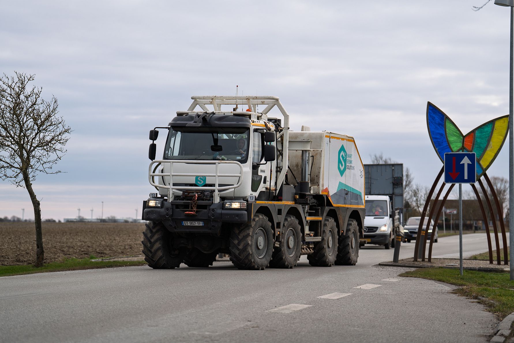
CarbonCuts and Nordsøfonden have completed Denmark’s largest onshore 3D seismic survey to date – an important part of Project Ruby. The aim was to map the subsurface geological layers of South Lolland to assess whether the area has the right conditions for safe and permanent CO2 storage. The study was organized as one month of intensive fieldwork starting in week 6, 2025 and was conducted in collaboration with geo-experts from GEO and S3 – Smart Seismic Solutions.
Preparations for the survey began over a year ago and have involved extensive planning and coordination with geo experts. In the initial part of the survey, thousands of geophones were set up and specially designed vibration trucks then mapped an area of 220 km².
In practice, the trucks sent vibrations into the ground, which were then picked up by the many geophones, which act as tiny microphones that detect sounds or vibrations in the ground surface and help create a three-dimensional map of the underground. The study itself lasted about a month from start to finish, after which data collection was completed – two weeks earlier than expected.
Charlotte Laurentzius, Exploration Manager at CarbonCuts, explains:
“Thanks to a strong team effort, we have completed the investigation safely, efficiently and without deviations from the original plan. The first data looks very promising”.
The careful planning and collaboration with our skilled technical partners and the community’s support for the survey has been crucial to the execution and quality of the data we need. All geophones have now been removed and we can begin the analysis work.
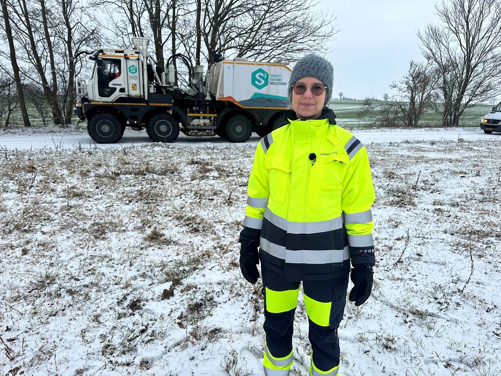
Photo: Charlotte Laurentzius, responsible for the exploration work at CarbonCuts – here at the 3D survey at Holeby.
Efficient execution and strong collaboration
A 3D survey of this scale is both technically and logistically complex and not previously conducted at this level in Denmark. The extensive fieldwork involved several key players:
- Geo, Danish geotechnical experts, handled the overall project management, such as monitoring, logistics planning and coordination of the field operations.
- S3 – Smart Seismic Solutions was responsible for the operational implementation, including the deployment and collection of geophones and the vibration run itself.
- Ramudden handled traffic management and traffic safety around the survey, including escort and security vehicles that followed the vibration trucks.
“We managed to complete the practical part of the survey both safely and according to plan,” says Jan Kresten Nielsen, Senior Geoscientist at CarbonCuts.
“Both the deployment and collection of the more than 35,000 geophones and the vibration driving went well, and the first data we have seen is of good quality and seems to give us a good basis for analysis, so we are very satisfied.”
The survey in numbers:
- In total, 35,061 geophones were set up over an area of 220 km².
- Before the vibration trucks started driving, a team of 30-40 people deployed the many geophones throughout the survey area. This was done by walking along roads, ditches and fields and manually lowering the geophones into the ground in teams of 2-3 people. Each team traveled approximately 20 km daily.
- 3 vibration trucks carried out the vibration run. The trucks weigh approximately 30 tons, are about 10 meters long and 2.5 meters wide. They create vibrations by lowering a plate onto the ground and vibrate within the permitted limits for about 20 seconds. They then move on to the next point, typically 20-45 meters ahead, and vibrate again.
- Vibration vehicles created a total of 11,029 vibration points that sent sound waves deep underground.
- 59 vibration meters (PPV stations) were installed on selected homes and buildings to ensure that vibration levels met regulatory requirements. After the survey, boreholes from the vibration meters were again repaired.
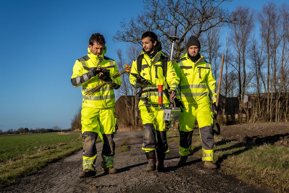
Photo: 30-40 employees from S3 covered about 20 km on foot every day for about two weeks as they set up the many geophones.
Citizen involvement and communication in focus.
The citizens of the area have played an important role in the study. In order to conduct a survey on this scale, it was necessary to obtain consent from private landowners, as not all surveys can be conducted on public land. Many gave consent for us to place geophones and vibration meters on their land and houses respectively – support that was crucial to the success of the survey.
“We would like to say a big thank you to the citizens of South Lolland who gave us consent to place geophones and vibration meters on their properties,” says Charlotte Laurentzius.
“Without their support, the study would not have been possible to this extent – the local interest and a good dialog were crucial for a successful outcome.”
CarbonCuts has informed and involved local residents both before and during the study through public meetings, the local press and information material. Already last year – on December 5, CarbonCuts and Geo together held an information meeting about the 3D survey in Holeby at the Climate Center. Around 100 citizens attended and gained insight into the study and had the opportunity to ask questions.
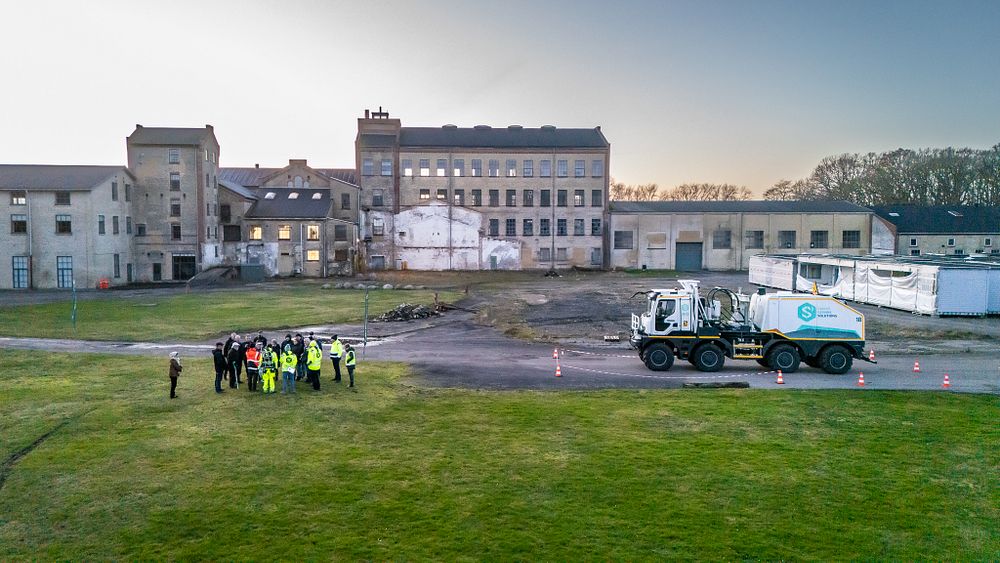
Photo: In week 6, CarbonCuts invited citizens to a vibrotruck event in Holeby.
CarbonCuts has also produced a leaflet with information about the survey, and local media reported on the survey. The newsletter “Ruby Nyt” has also informed about the 3. D study, the consent process. Citizens in the area were also invited to the event “Experience a Vibro truck”, where it was possible to see a vibration truck in action and hear a little about how the trucks operate in practice and in interaction with the geophones.
We also made a series of short films showing how the geophones were deployed and vibration meters set up on properties in the study area. The purpose of the meters was to ensure and document that the vibrations remained within the limits set by the authorities. Finally, we have continuously informed about the study on www.project-ruby.dk and via LinkedIn.
TV2 East also carried a report on the investigation, which was broadcast in TV2’s news programs.
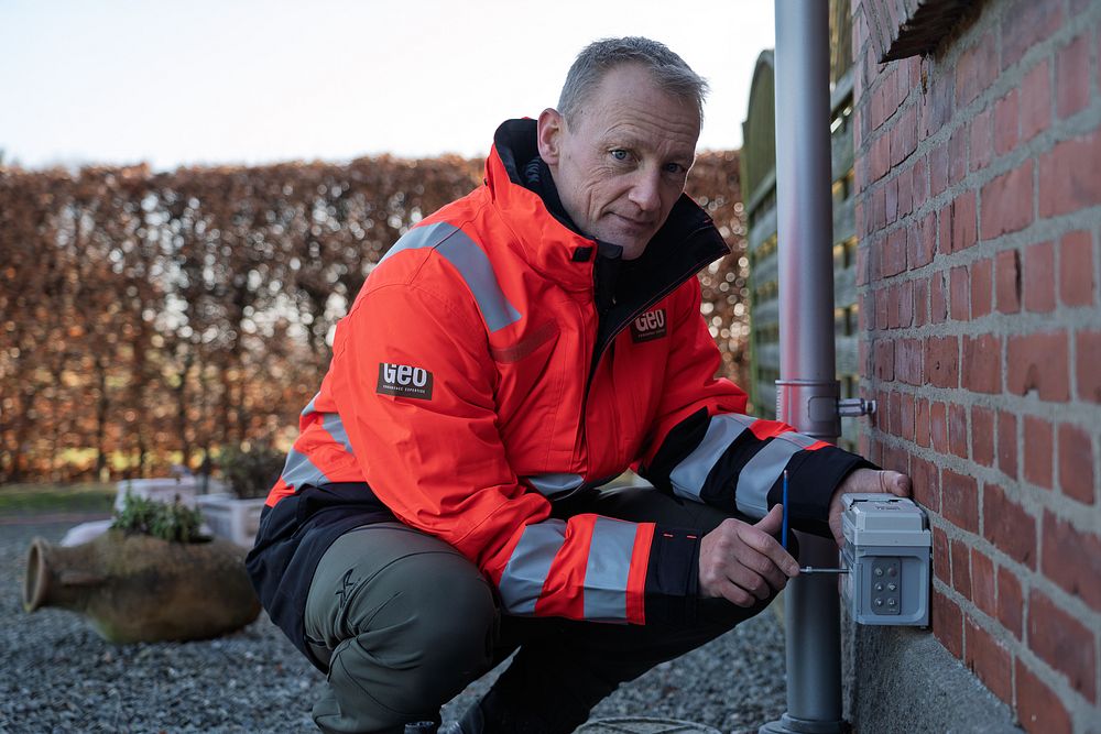
Photo: Geo installed vibration meters on homes to measure and document that the vibrations are within the set limits.
What happens next?
Now the thorough analysis of the huge amount of data collected begins. It will take months to process and interpret the information, but the initial data shows that the data quality is good.
“We now have an extensive dataset to analyze in detail,” says Jan Kresten Nielsen.
“It will be exciting work that will take many months and hopefully eventually give us an even better understanding of the subsurface structure and its potential suitability for CO2 storage.”
Stay tuned to www.project-ruby.dk for regular updates on the project.


